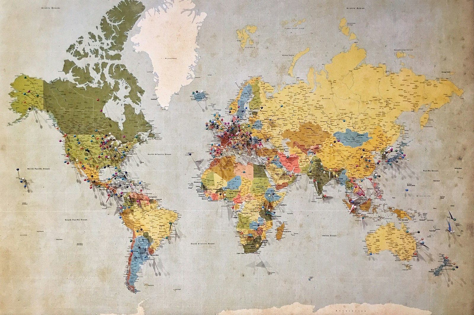
Best Budget Offline Navigation and Communication for Overlanding
As an Amazon Associate we earn from qualifying purchases. Some links on this page are affiliate links, meaning we may earn a commission at no extra cost to you. Learn more.
The moment you climb over the first mountain ridge or drop into a desert wash, your phone's bars drop to "No Service."
A common beginner impulse is thinking you need a $600 dedicated Garmin Overlander tablet or an expensive in-dash navigation system. You don't. Modern smartphones already contain high-accuracy GNSS chips (GPS, GLONASS, Galileo) that calculate your exact location anywhere on Earth even without cellular service.
Here is how to set up reliable navigation and trail communication on a strict budget.
1. Use the phone in your pocket with offline mapping apps
Your phone's GPS antenna works completely independently of cell towers. You just need to download the map data to your internal storage before you leave your home Wi-Fi.
The best free / budget apps:
- Gaia GPS & OnX Offroad: The gold standards for vehicle trail routes. They show public land boundaries (BLM vs. USFS vs. private property), trail difficulty ratings, campsite locations, and offline topographic contour lines. The basic features are free, and annual memberships cost less than a single tank of gas.
- Google Maps Offline Areas: Free and already on your phone. Go to Google Maps, tap your profile icon, select "Offline Maps," and draw a box around your entire trip destination. It won't show 4x4 trails, but it guarantees you can navigate back to the nearest paved highway and gas station without cell service.
- Organic Maps (OpenStreetMap): 100% free, zero ads, open-source offline maps. Outstanding detail on fire roads, walking paths, and backcountry water sources worldwide.
2. A vibration-proof phone mount
Washboard gravel roads shake standard plastic air-vent phone mounts to pieces within 5 miles. You need a solid mechanical or magnetic mount that keeps your screen visible for trail turns.
-
RAM Mounts Quick-Grip Phone Mount with Suction Cup Base
— The undisputed overland favorite. Uses a rubber ball-and-socket arm that absorbs trail vibration and an industrial suction cup that stays glued to your windshield or dash through desert heat and rough terrain.
3. Trail communication: Two-way radios
When traveling in a group or when your passenger hops out to spot your vehicle over an obstacle, yelling over engine noise doesn't work.
Handheld FRS/GMRS two-way radios provide instant, push-to-talk voice communication with zero cell service required.
-
Midland LXT500VP3 22-Channel Two-Way Radios (Pair)
— Inexpensive, license-free, clear reception for convoy driving, and recharges via USB or AA batteries. Keep one in your cup holder and hand the other to your trail buddy.
4. Emergency SOS: When do you need satellite communication?
If you travel solo deep into national forests or desert backcountry, an emergency breakdown can leave you out of walking range of help.
- If you own a modern smartphone (e.g., iPhone 14 or newer / modern Android): You already have built-in Emergency SOS via Satellite. You can text emergency dispatchers directly via satellite for free if you have clear line-of-sight to the sky.
- If you don't have satellite on your phone: Rather than spending $400+ on a dedicated satellite tracker, check outdoor gear rental shops (like REI) or peer rental services. You can rent a Garmin inReach Mini 2 for $8–$10 per day for your specific trip window.
- See our guide on
what gear is smarter to rent vs. buy
before buying a subscription device.
5. The zero-battery backup: Paper state atlas
Electronics get dropped in rivers, phone batteries overheat on dashboards, and charging cords fray. Always stash a physical spiral-bound topographic recreation atlas in your seatback pocket.
-
DeLorme Atlas & Gazetteer (State-by-State Series)
— Detailed topographic maps showing public lands, forest service roads, campgrounds, and elevation contours. It never runs out of battery, and sitting around the campfire planning tomorrow's route on a paper map is half the fun of overlanding.
As an Amazon Associate we earn from qualifying purchases. Some links on this page are affiliate links, meaning we may earn a commission at no extra cost to you. Learn more.